Top sight
Top sight
Ecuador's cloud forest frontier — pristine biodiversity, community ecotourism, and a 30-year stand against industrial copper mining.
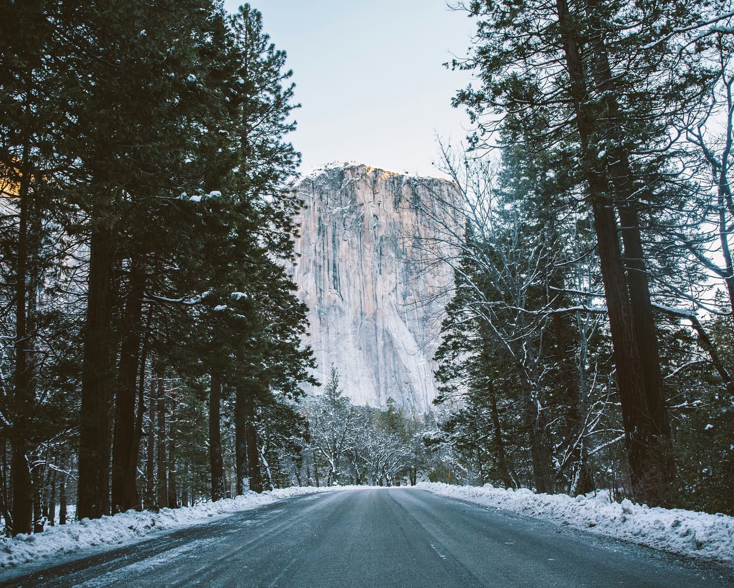
Intag Valley is a remote, biodiverse region in Imbabura Province, Ecuador, part of the globally significant Chocó bioregion with hundreds of bird species, cock-of-the-rock, oilbirds, and rare harlequin frogs. Community-run ecotourism — cloud forest reserves, natural hot springs, waterfalls, and organic coffee farms tied to the AACRI cooperative — forms both the local economy and a decades-long shield against large-scale copper mining. Just a few hours from Quito and Otavalo by bus or private transfer, it remains one of Ecuador's most authentic off-the-beaten-path escapes for nature lovers and slow travelers.
More cities for these months: Where to go in June · Where to go in July · Where to go in August · Where to go in September
Insider tips · Wanderlust Pro
Practical tips on the sights and neighbourhoods in this Intag Valleyguide — when to go, what most visitors miss. Written with AI about the guide's own places; double-check details before you go. Pro members see every tip.
The quick answers travelers want before they commit to flights, neighborhoods, and how long to stay.
Most travelers reach Intag Valley via Otavalo or directly from Quito. From Otavalo, buses and rancheras (open-sided trucks) run into Intag's villages, with the drive to Nangulvi taking around two hours over a mostly paved 60 km road. Direct buses from Quito's Terminal La Ofelia (San José de Minas route) reach Chontal Bajo, while EcuadorBus services from Quito typically terminate at Magdalena Bajo for a bus fare of $2–2.5. From these drop points, a taxi or local driver covers the final stretch to villages like Junín for roughly $15–25. Private transfers from Quito or Otavalo cost $50–100 and are recommended for families or those with heavy luggage, with total journey times ranging from 1.5 hours (Otavalo to Junín-area reserves) up to four to six hours depending on the route chosen.
Within the valley, local buses connect the main towns for inter-town travel, while rancheras serve smaller, less-connected communities. For the final legs to remote eco-lodges and reserves — such as the stretch from Chontal Bajo or La Zeta to Junín — hired taxis or local drivers are the norm, typically costing $15–25 depending on distance. Many visitors also explore on foot or by mountain bike, with guided hikes to waterfalls and sugar cane mills being a popular way to see the cloud forest up close; some adventurous travelers even cycle down from the páramo above Otavalo into the valley.
The dry season from June through September is the most comfortable window to visit, offering firmer trails and easier access for families and casual hikers. Travelers chasing lush, vivid scenery and more active wildlife sightings often prefer the rainy season (October–May), accepting muddier trails in exchange for a greener, more dramatic cloud forest. Because Intag sits across a range of altitudes within the Chocó bioregion, microclimates vary village to village, so conditions can shift noticeably between the lower, more tropical Manduriacos area and the higher reaches near Cuellaje.
Travel from Otavalo or Quito into the valley, descending through cloud forest scenery toward Apuela.
Soak in the thermal pools at Termas de Nangulvi, fed by hot spring waters from Cotacachi Volcano.
Settle into a community eco-lodge or homestay and enjoy a locally sourced dinner.
Hike with a local guide into the Junín Community Reserve's primary cloud forest.
Visit the three waterfalls — Escondida, Vela de Novia, and Gemelas — and swim in natural plunge pools.
Join a community conservation talk or citizen-science frog/water monitoring activity.
Tour an AACRI-affiliated organic coffee farm to learn about shade-grown cultivation and processing.
Birdwatch for cock-of-the-rock, hummingbirds, and endemic species at Campo Colibrí or Los Cedros.
Travel back toward Otavalo or Quito, or extend with a cultural stop in a nearby Andean community.
Real coworking spaces, laptop-friendly cafés, and libraries mapped near the center of the city — the closest, best-rated desks first.
Loading nearby workspaces…
Ask for cafés, quiet neighborhoods, date-night spots, or a first 48-hour plan.
Mention calls, Wi-Fi needs, or how much of the day has to stay laptop-friendly.
Get faster answers on where to stay, when to move neighborhoods, and what to skip.
Written by signed-in Wanderlust members. We don't check that a reviewer has visited.
No reviews of Intag Valley yet.
Neighborhood explainers, cost breakdowns, and field notes if you want more than the quick brief.
Tell the planner your dates, who's coming, your budget and pace, and it drafts a day-by-day itinerary you can edit.
Wanderlust Pro
Insider tips for Intag Valley, unlimited AI-built itineraries, and travel companions you can invite to plan a trip together. From $5.00/month, billed annually.
Insider tips · Wanderlust Pro
Practical tips on the sights and neighbourhoods in this Intag Valleyguide — when to go, what most visitors miss. Written with AI about the guide's own places; double-check details before you go. Pro members see every tip.
