 City postcard
Victorville
A Route 66 desert gem in Southern California's High Desert, 90 minutes from LA and a world away.
A Route 66 desert gem in Southern California's High Desert, 90 minutes from LA and a world away.
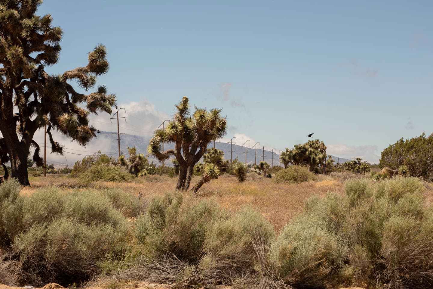
Victorville is a Mojave Desert city of roughly 137,000 people anchored by its storied Route 66 heritage, wide-open desert landscapes, and surprising family-friendly attractions. Sitting just 85–90 miles northeast of Los Angeles off Interstate 15, it punches above its weight as a weekend escape and gateway city between LA and Las Vegas. The High Desert air is dry and clear, summers run hot, but fall through spring deliver mild, sunny days ideal for outdoor recreation and exploration.
City postcardA Route 66 desert gem in Southern California's High Desert, 90 minutes from LA and a world away.
 Top sight
A signature stop locals and returning travelers point to in Victorville.
A signature stop locals and returning travelers point to in Victorville.
Photo: Sanfel · CC BY-SA 4.0
A signature stop locals and returning travelers point to in Victorville.
A signature stop locals and returning travelers point to in Victorville.
A signature stop locals and returning travelers point to in Victorville.
A signature stop locals and returning travelers point to in Victorville.
A signature stop locals and returning travelers point to in Victorville.
A signature stop locals and returning travelers point to in Victorville.
A signature stop locals and returning travelers point to in Victorville.
A pocket of Victorville with its own temperament — worth a deliberate detour when you're in the area.
A pocket of Victorville with its own temperament — worth a deliberate detour when you're in the area.
A pocket of Victorville with its own temperament — worth a deliberate detour when you're in the area.
A pocket of Victorville with its own temperament — worth a deliberate detour when you're in the area.
Wanderlust Pro
Pro members see insider tips for Victorville: a short list of restaurants, cafés and sights, picked by AI as local suggestions to double-check before you go.
The quick answers travelers want before they commit to flights, neighborhoods, and how long to stay.
Most visitors fly into Ontario International Airport (ONT), about 37 miles southwest of Victorville, or Los Angeles International (LAX), roughly 76 miles away. San Bernardino International (SBD) is the closest commercial airport at just 30 miles. By rail, Amtrak runs one daily train from San Bernardino to Victorville's Amtrak station; tickets range from $12–$28 and the journey takes about 1 hour 8 minutes. Long-distance buses (Greyhound and FlixBus) serve the Victor Valley Transit Center on D Street, with tickets from as low as $10 if booked ahead and rides from Los Angeles taking approximately 3 hours 50 minutes. By car, Victorville sits directly on Interstate 15 and Highway 395, making it easy to reach from all of Southern California.
A personal car is by far the most practical way to get around Victorville — over 90% of commuters drive, parking is widely available, and key sights are spread out across the desert city. Ride-sharing via Uber and Lyft is available throughout the city; a ride to/from Southern California Logistics Airport (VCV) typically costs $30–$50. Public transit is provided by the Victor Valley Transit Authority (VVTA), with local bus routes connecting Victorville to Hesperia, Apple Valley, Adelanto, and Barstow. Note that VVTA buses run less frequently on weekends and do not serve VCV Airport directly. The Victorville Mojave Riverwalk offers a pleasant paved trail for walking and cycling within the city.
Spring (March–May) and fall (September–November) are the sweet spots for visiting Victorville. Temperatures are comfortably mild, the desert landscape is often in bloom in spring, and outdoor activities at Mojave Narrows and the Mojave Riverwalk are at their best. Summer is intense — mid-August highs regularly push 100°F (37.8°C) — making midday sightseeing grueling unless you stick to indoor attractions. Winter is cool and dry (averaging around 44–50°F in January), with very little rain or snow, making it a surprisingly pleasant escape from LA's coastal chill. The annual Huck Finn Jubilee bluegrass festival in June and the High Desert Pirate Renaissance Faire in March are popular event draws. April is statistically the driest month, ideal for hiking and off-roading.
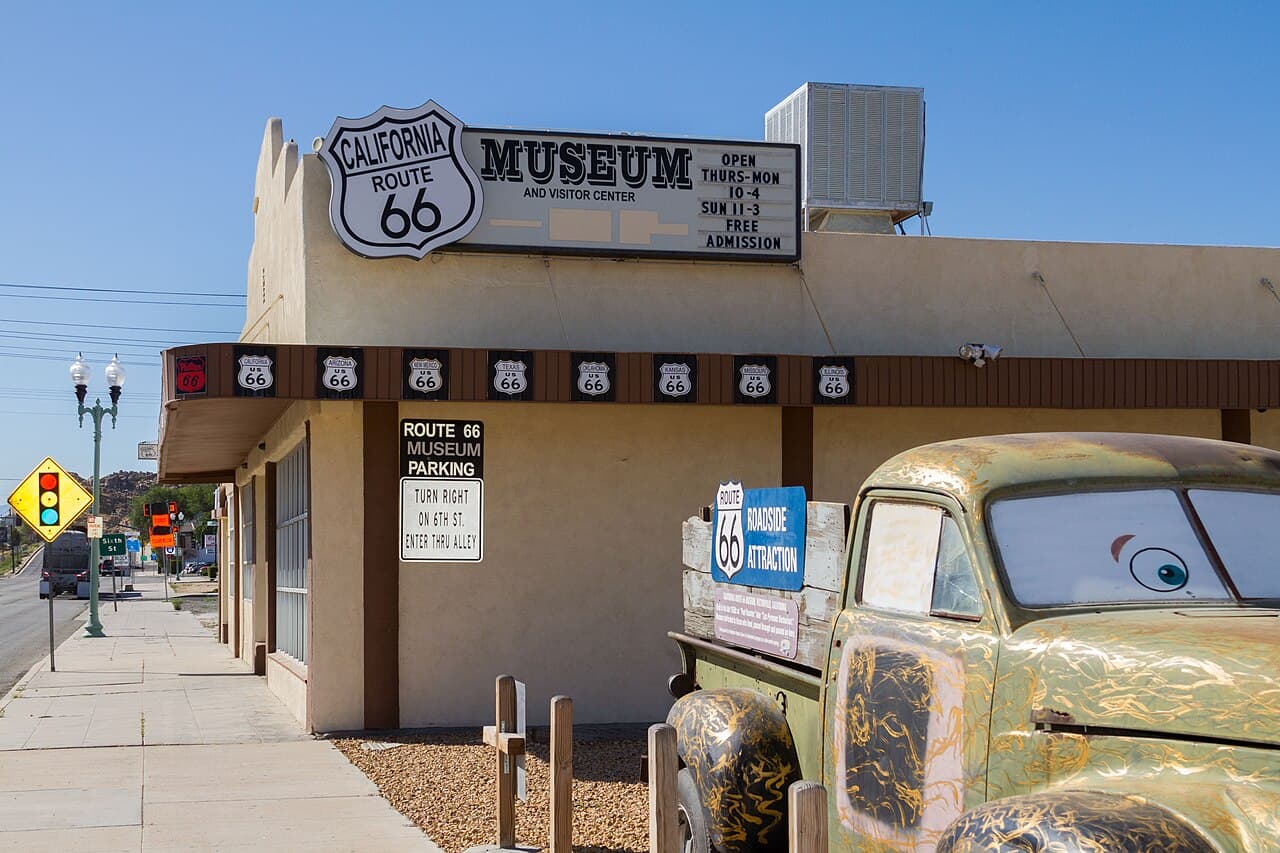
Start at the California Route 66 Museum in Old Town Victorville (free admission, donations welcome). Explore vintage Route 66 memorabilia, the 1917 Model T Ford, and neon signs from the Mother Road's heyday.
Stroll through Old Town Victorville's historic streets, browsing murals, antique shops, and local art galleries. Stop by the Old Town Veterans Memorial and the original Victor School building.
Dinner at a local Route 66 classic like Emma Jean's Holland Burger Cafe or Molly Brown's Country Cafe for authentic High Desert comfort food.
Head to Mojave Narrows Regional Park on Yates Road. Hike the trails around scenic Horseshoe Lake, try your hand at fishing (bass and trout are stocked), or explore the disc golf course.
Drive to the Victorville Mojave Riverwalk for a leisurely bike ride or walk along the paved desert trail. Alternatively, head south to Silverwood Lake State Recreation Area in Hesperia for boating and swimming.
Pick up fresh produce at the High Desert Farmers Market (select weekends) and cook in, or try local Mexican fare at Rosita's Mexican Restaurant.
Spend the morning at Scandia Family Fun Center — go-karts, mini-golf, bumper boats, batting cages, and arcade games for all ages (open daily at 10 AM).
Visit the Victor Valley Museum to discover exhibits on the High Desert's natural history, mining heritage, and the Indigenous Serrano and Chemehuevi peoples. Rotating art exhibitions are also on display (open Wednesday–Sunday).
Wrap up with a scenic drive along historic Route 66, catching sunset over the Mojave Desert, before heading back or continuing the road trip toward Big Bear Lake or Las Vegas.
Real coworking spaces, laptop-friendly cafés, and libraries mapped near the center of the city — the closest, best-rated desks first.
No coworking-ready spots surfaced for this city yet.
Pick a different category or check back once we’ve indexed more desks for this city.
Ask for cafés, quiet neighborhoods, date-night spots, or a first 48-hour plan.
Mention calls, Wi-Fi needs, or how much of the day has to stay laptop-friendly.
Get faster answers on where to stay, when to move neighborhoods, and what to skip.
There aren’t any, yet!
Block off the weeks you're free. Wanderlust turns this dossier — flights, lodging, neighborhoods, timing — into a single draft itinerary in about ninety seconds.
Wanderlust Pro
Insider tips for Victorville, unlimited AI-built itineraries, and travel companions you can invite to plan a trip together. From $5.00/month, billed annually.
Wanderlust Pro
Pro members see insider tips for Victorville: a short list of restaurants, cafés and sights, picked by AI as local suggestions to double-check before you go.