 City postcard
Brownsville
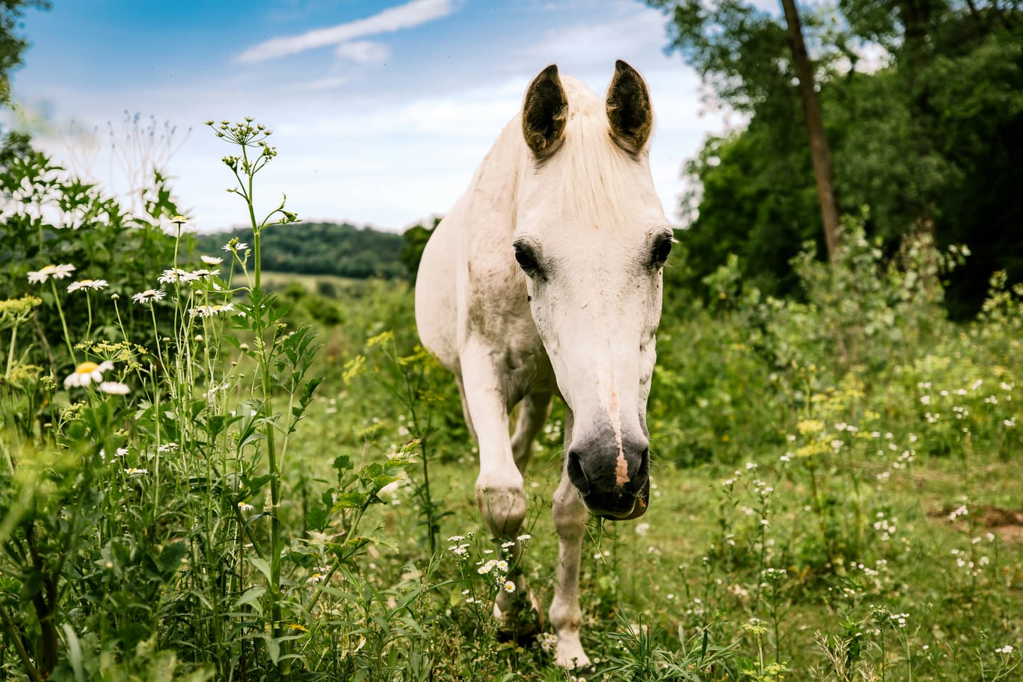
Texas's southernmost border city where Gulf Coast wildlife, deep history, and SpaceX rocket launches collide.
Loading city...
Texas's southernmost border city where Gulf Coast wildlife, deep history, and SpaceX rocket launches collide.
Brownsville sits at the very tip of Texas, separated from Matamoros, Mexico only by the Rio Grande and just minutes from the Gulf of Mexico. It has been named the second-most historic city in Texas, with battlefields from the Mexican-American War and Civil War woven into its fabric. The city's subtropical climate and position on a major migratory flyway attract over 500 bird species year-round, while nearby Starbase puts it on the map for space enthusiasts. Blending Hispanic and American cultures in equal measure, Brownsville offers an affordable, laid-back base with surprising depth for travelers.
City postcardTexas's southernmost border city where Gulf Coast wildlife, deep history, and SpaceX rocket launches collide.
 Top sight
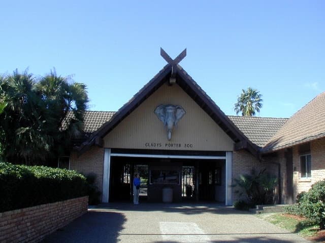
A signature stop locals and returning travelers point to in Brownsville.
 Top sight
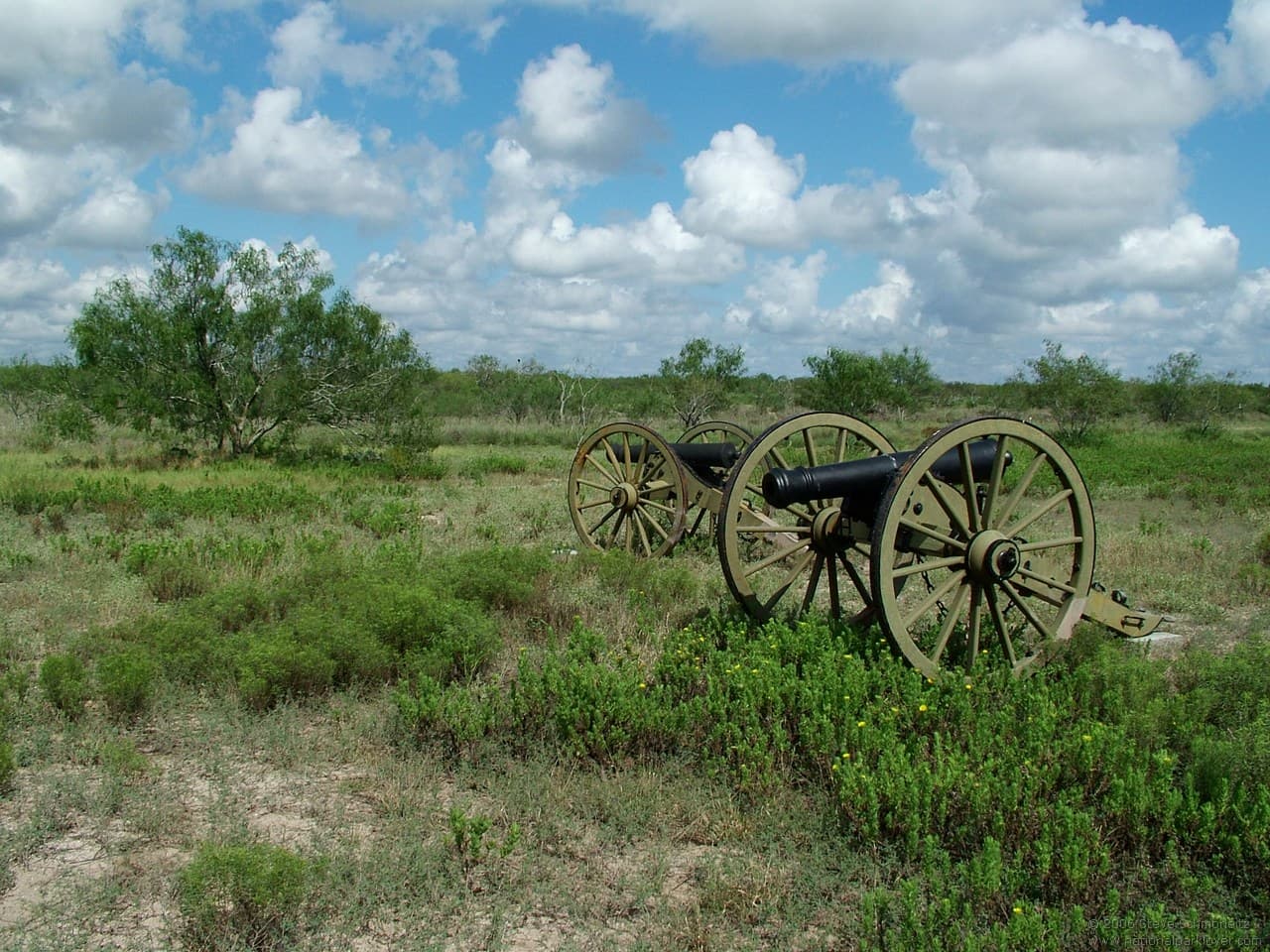
A signature stop locals and returning travelers point to in Brownsville.
A signature stop locals and returning travelers point to in Brownsville.
Photo: Jc161991 · CC BY-SA 3.0
A signature stop locals and returning travelers point to in Brownsville.
Photo: Schmorleitz · CC BY-SA 3.0
A signature stop locals and returning travelers point to in Brownsville.
A signature stop locals and returning travelers point to in Brownsville.
A signature stop locals and returning travelers point to in Brownsville.
A signature stop locals and returning travelers point to in Brownsville.
A signature stop locals and returning travelers point to in Brownsville.
A signature stop locals and returning travelers point to in Brownsville.
A pocket of Brownsville with its own temperament — worth a deliberate detour when you're in the area.
A pocket of Brownsville with its own temperament — worth a deliberate detour when you're in the area.
A pocket of Brownsville with its own temperament — worth a deliberate detour when you're in the area.
A pocket of Brownsville with its own temperament — worth a deliberate detour when you're in the area.
The quick answers travelers want before they commit to flights, neighborhoods, and how long to stay.
Brownsville South Padre Island International Airport (BRO) is the city's primary air gateway, with flights connecting to major Texas hubs. A second regional option is Valley International Airport (HRL) in nearby Harlingen, roughly 25 miles northwest, which serves additional carriers and routes. By road, US Highway 77/83 is the main artery linking Brownsville northward to the rest of Texas; the drive from San Antonio is approximately 4–5 hours. Greyhound and other intercity bus services connect Brownsville to McAllen, Corpus Christi, and San Antonio. Crossing into Matamoros, Mexico is possible via several international bridges, the most popular being the Gateway International Bridge near downtown.
A personal car is the most practical way to get around Brownsville, as the city covers nearly 150 square miles with limited public transit coverage. The city does operate a local bus system (El Metro), but routes are infrequent and primarily serve commuters rather than visitors. Ride-share apps (Uber and Lyft) are available. Brownsville boasts over 64 miles of bicycle trails that wind through the city and connect parks, resacas, and neighborhoods — making cycling a genuinely useful option for sightseeing. Gas prices hover around $2.80 per gallon locally, well below the national average.
The sweet spot for visiting Brownsville is November through March. Winter here is genuinely mild — January averages a pleasant 71°F high — with minimal rainfall and plenty of sunshine, making it ideal for outdoor exploring, birdwatching, and day trips to Boca Chica Beach. February is historically the driest month, with only about 5 rainy days on average. Spring (March–April) brings warm temperatures, low rain, and the longest sunshine hours of the year, though humidity begins to build. Summer (June–August) is the busiest tourist season, but it comes with intense heat (highs regularly hitting 95–97°F), oppressive humidity, and the highest accommodation prices — best avoided unless you're specifically chasing beach time or a SpaceX launch. September is the wettest month, averaging up to 6 inches of rain, and falls squarely in hurricane season, so travel insurance is wise if visiting then. Late February is also when the city hosts Charro Days, an annual festival celebrating the region's Mexican heritage that dates back to 1937 and draws large crowds.
Real coworking spaces, top-rated cafés, and libraries pulled from Google Maps near the center of the city — sorted by rating so you start with the strongest desks.
No coworking-ready spots surfaced for this city yet.
Pick a different category or check back once we’ve indexed more desks for this city.
Ask for cafés, quiet neighborhoods, date-night spots, or a first 48-hour plan.
Mention calls, Wi-Fi needs, or how much of the day has to stay laptop-friendly.
Get faster answers on where to stay, when to move neighborhoods, and what to skip.
There aren’t any, yet!
Block off the weeks you're free. Wanderlust turns this dossier — flights, lodging, neighborhoods, timing — into a single draft itinerary in about ninety seconds.